Length: 19,6 km
Dificulty: medium
Circle: YES, Marking: partialy marked
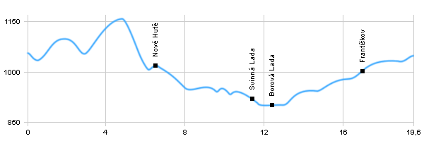
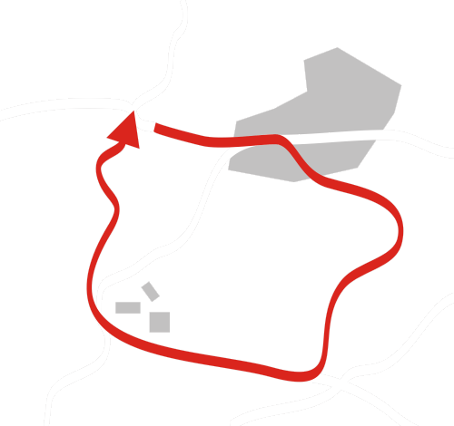
The route of the trip starts in Kvilda and from there we will follow the yellow tourist track through Vilémov, through the forest and then through the valley of Olšinka and we will slowly go up to the crossroad of blue and green tourist track. From there we will continue and follow the green tourist track to Podlesí, we will go around the nature reservations of Novosvětská slať a Chalupská slať to Svinná Lada. Then we will go left and we will follow the road to the village of Borová Lada. After visitation of the village we will turn back and go towards the village of Svinná Lada and once we reach a crossroad we will go left towards Františkov. Around the top of Kamenáč and Františkov, then we will go back along the river Teplá Vltava to Kvilda, where the trip ends.
 
|
|
See the map
|
| Dist. |
Location |
Elevation |
Marking |
Description |
| 0,0 |
Kvilda |
1056 m n.m. |
 |
 |
| 4,9 |
U Starých Hutí |
1154 m n.m. |
 |
|
| 6,5 |
Nové Hutě |
1023 m n.m. |
 |
|
| 11,4 |
Svinná Lada |
914 m n.m. |
  |
|
| 12,4 |
Borová Lada |
898 m n.m. |
 |
 |
| 16,3 |
Františkov |
1012 m n.m. |
 |
|
| 19,6 |
Kvilda |
1056 m n.m. |
|
|
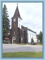
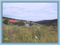
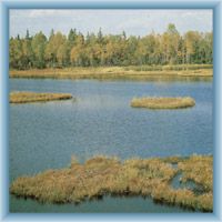
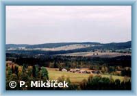
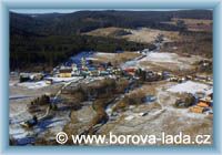
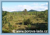
 | Kvilda – A mountain village which serves as a recreation center. The village lies between Horskokvildská Slať and Jezerní Slať. Church of St. Štěpán from 1894 is a remarkable monument. You can find there well preserved buildings of Šumava’s typical architecture. |  | Borová Lada – A village small by its number of residents, but great when it comes to natural beauties which surround the village. The most visited destination by tourists is the mire called „Chalupská Slať“, it is also the biggest mire in Czech Republic. Mountain „Vyhlídka“, with observation tower from which you can see beautiful surroundings of the village, is very close to the mire. |
|


