|
|
|
|
|
||||||||||
|
|
|
||||||||||||
Hiking, Trip to surroundings
Around the village Kliny
|
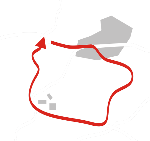
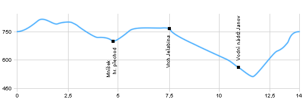
Length: 14 km Dificulty: medium Circle: YES, Marking: partialy marked Trail trip begins in the village Klíny, than follows the blue sign to the crossroads Kostelni cesta and continues along the state border into Mníšek, from Mnisek goes at the yellow sign along the roads around the hill Větrný vrch to the top of the hill Jeřabina with the tower. Then, the route leads following the red mark through the hill Hřeben to crossroads by the water tank Janov. After turning left at the blue sign and crossing river Loupnice continues back to the village Klíny.  |
|

See the map
| ||||||||||||||||||||||||||||||||||||||||||||||||
| ||||||||||||||||||||||||||||||||||||||||||||||||||

Photos of the route
|


